A Map of The ‘Category D’ Villages of Durham
The small colliery village in County Durham I grew up in had four ‘miners’ terraces’ - North, South, East and West Terrace - built in a square around the colliery. After the colliery was closed in the 1960’s, all four streets were listed as “Category D” and soon after, three of them were demolished. One terrace escaped that fate, and that’s the street I grew up on. I didn’t find out about the now-infamous ‘Category D’ until I was an adult, but I’m glad my street was there for me to live on. The experience of community I had growing up was special, and the more people I meet, the more unique I realise it was (I may write more about this in a future post).
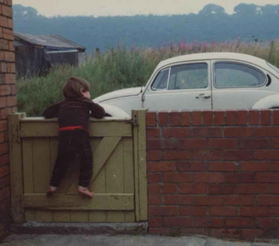
Me in my back yard in the 1980’s, looking down the street.
I’ve created an interactive map of County Durham’s “Category D” villages, which you can view below.
"Category D" was part of a plan initiated in 1951 that basically identified settlements Durham County Council would no longer invest in, and therefore effectively allow to decline to the point of uninhabitability.
From the 1951 Durham County Council Development Plan itself:
“All settlements in the county have been placed in one of four categories: … D. Those from which a considerable loss of population may be expected. In these cases it is felt that there should be no further investment of capital on any considerable scale, and that any proposal to invest capital should be carefully examined. This generally means that when the existing houses become uninhabitable they should be replaced elsewhere, and that any expenditure on facilities and services in these communities which would involve public money should be limited to conform to what appears to be the possible future life of existing property in the community. … There is no proposal to demolish any village, nor is there a policy against genuine village life. It is proposed to remould gradually the pattern of development in the interests of the county as a whole.”
More villages were added in the 1964 plan (I’m less confident about the accuracy of the info I have on this phase, so any contributions welcomed). There was another amendment in the 70’s, I believe, but I haven’t added that yet. I will aim to update the map as I get more info.
It’s worth taking 25 minutes out of your day to watch this documentary from 1969 (below), about Category-D-listed village Witton Park and its residents. It gives an extraordinary insight into local government and urban planning attitudes in the 1960’s, not to mention presenting some fantastic County Durham characters from the time.
Condemned villages| 1960s England | Long time Dying | This Week | 1969
YouTube description: “County Durham is the only area in the country which has had, for twenty years, plans for running down a hundred and twenty one villages, in which eighty five thousand people still live. Under category ‘D’ of the plan, all capital development and building places so scheduled is stopped. Slowly, but inexorably, they are demolished. Peter Williams has been to Witton Park, a village which is a Hundred years old this week, a village condemned twenty years ago, a village which is still obstinately refuses to accept that is must die.”
An interesting article about the Category D Villages on the Metal and Dust blog: Planning for Destruction After the Death of Coal in County Durham.